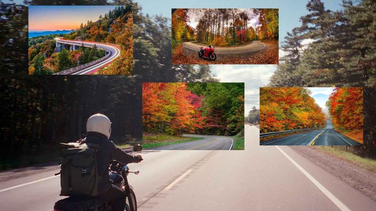
Travelling is one of the best activities that gives us true meaning of life. I still remember my first motorcycle ride through California where we did the adventure, feel the nature and enjoy a lot. Today through this post we are going to explore the best motorcycle routes of California.
California is one of the best places to travel where you can ride freely, find peace in nature, feel the thrill and adventure and can create memories. So, pack your bags, get your bike ready and move towards the golden roads of California.
California Motorcycle Routes
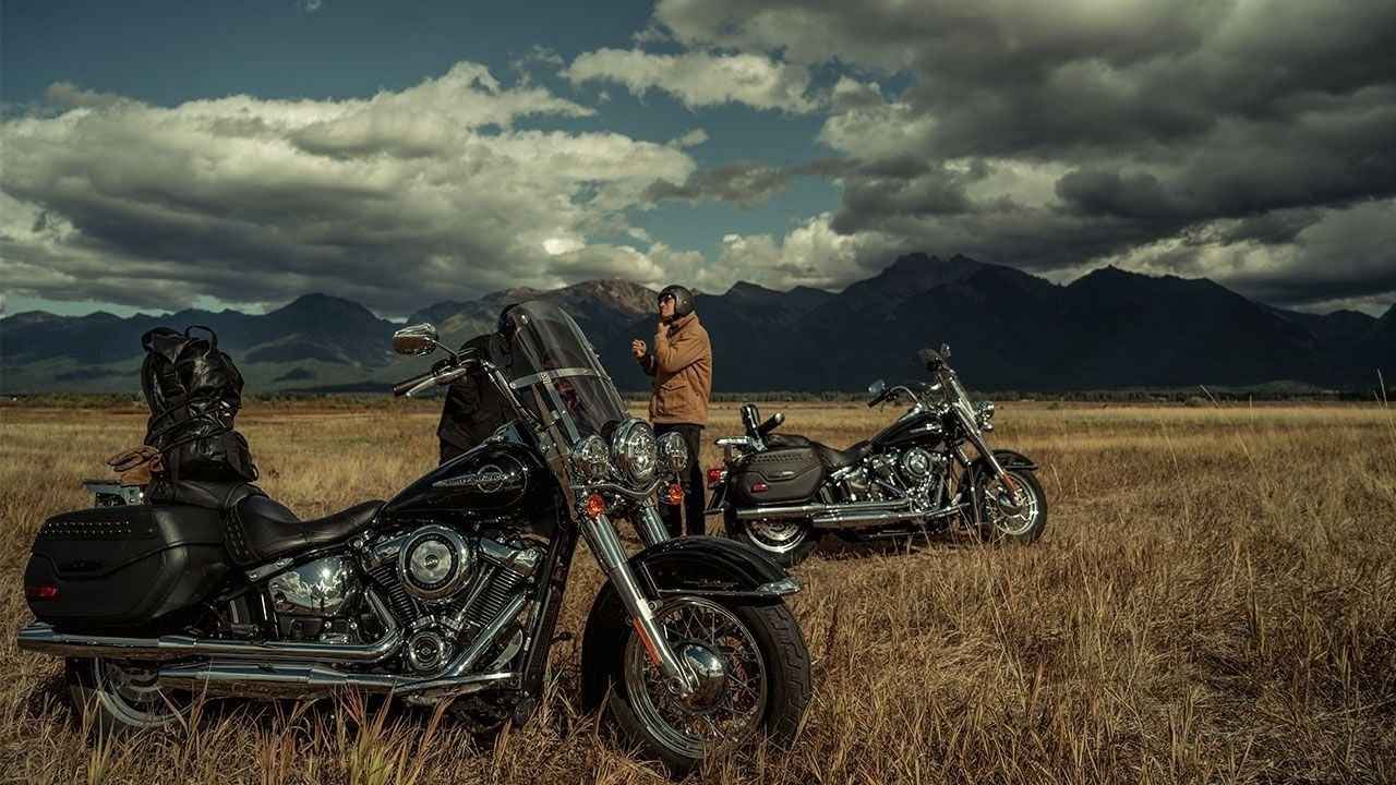
Riders often search on Google for the best routes, but only an experienced rider can truly guide you to the perfect road map. Before we move ahead, let me introduce myself. I’m Ethan Parker, and I’ve spent years exploring adventurous places across the world on my motorcycle.
There is a saying, ‘Four wheels move the body, but two wheels move the soul,’ and according to me, this saying is absolutely true. Bike riding is a passion for some and a dream for others. If you are planning a bike ride in California but don’t know the best routes and places to explore, don’t worry—through this post we will discover each and everything.
California Motorcycle Routes Quick Highlights
In this table, you’ll find all the key details like the best trip, distance in miles, and the best time to visit. Make sure to go through it before you move ahead.

| Place Name | Distance in Mile |
| Angeles Crest Highway (CA-2) | 66 |
| Tioga Pass (CA-120: Moccasin to Lee Vining) | 59 |
| Redwood Highway (US-101 North) | 350 |
| Route 66 (Santa Monica to Needles) | 244 |
| Mulholland Highway and The Snake | 50 |
| Palomar Mountain Loop | 60 |
| Death Valley | 100–150 |
| Mount Hamilton (Highway 130) | 30 |
| Carson Pass (Highway 88) | 50 |
| Pacific Coast Highway (Highway 1, iconic CA route) | 655 |
Now, know about each of these amazing motorcycle routes listed above, one by one, and explore for every biker.
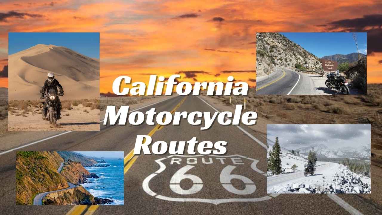
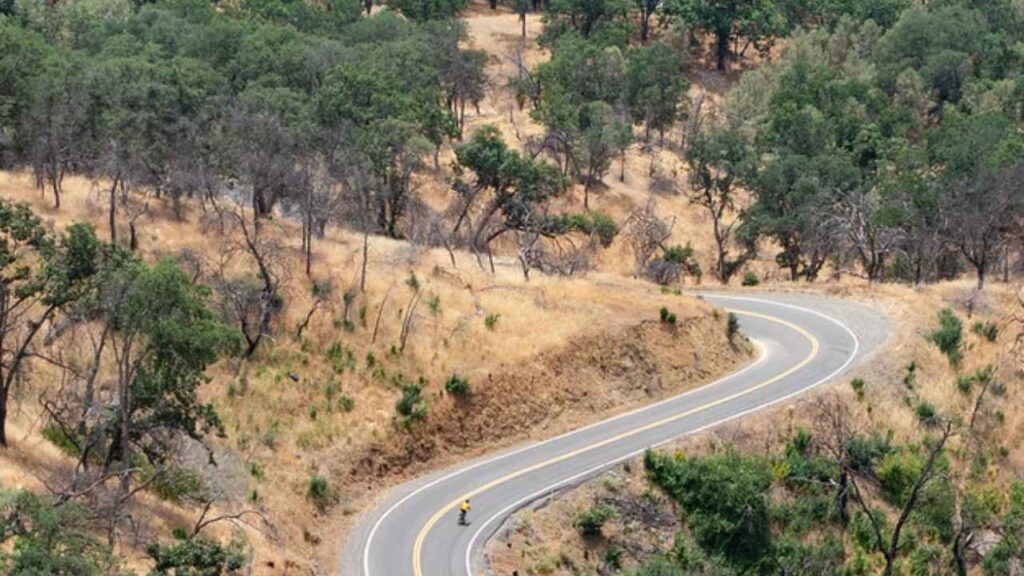
Angeles Crest Highway (CA-2)
Angeles Crest Highway (CA-2) is located in the San Gabriel Mountains, in the northern part of Los Angeles County, California. This route is also known as the biker’s paradise as it goes through pine forests, sharp curves, and sweeping vistas that makes the route amazing and adventures. Know key highlights and details about this route:-
| Distance | 66 miles |
| Best Time to Visit | Spring to Early Fall |
| Route Highlights | Pine forests, mountain vistas, winding curves |
| Difficulty Level | Moderate |
| Popular Stops | Newcomb’s Ranch, Big Pines, Red Box |
| Ride Duration | 2–3 hours |
| Type of Road | Mountain highway with elevation changes |
| Nearby Amenities | Cafes, gas stations, scenic viewpoints |
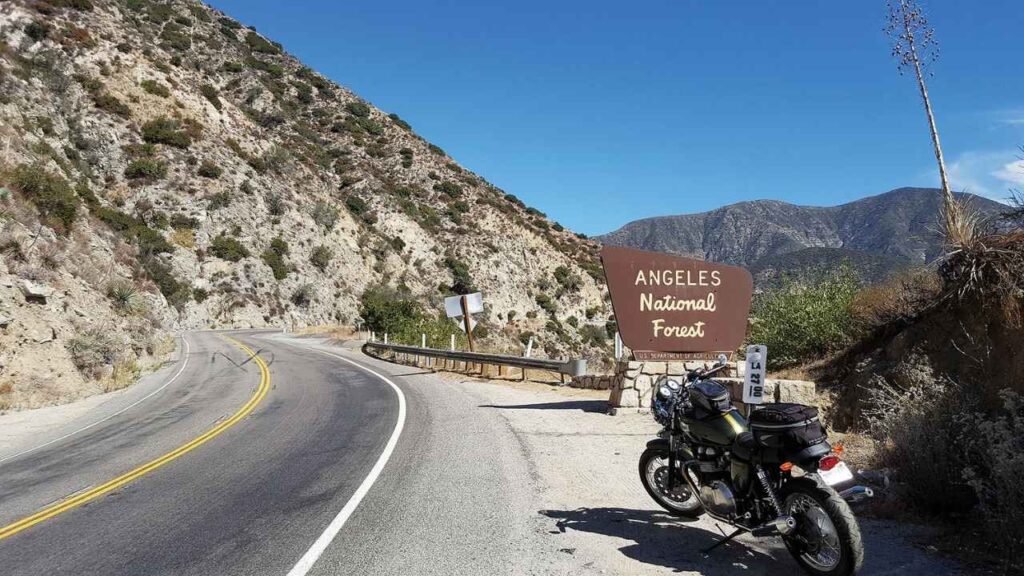
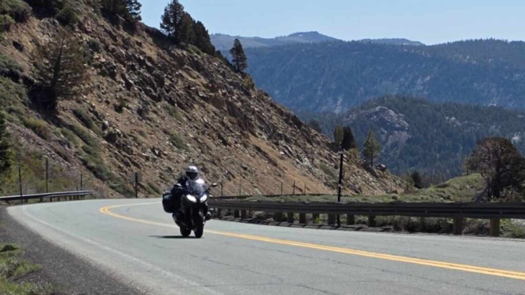
Tioga Pass (CA-120: Moccasin to Lee Vining)
Our next route is Tioga Pass, one of California’s most adventurous mountain roads. If you want to enjoy the snowfall and alpine beauty, the best time to visit is late May to early June. Basically this route is thrilling but also risky, with narrow roads, steep grades and low friction between the tyre and road due to snowfall.
| Distance | 59 miles |
| Best Time to Visit | Late May to October |
| Route Highlights | Alpine lakes, snow-capped peaks, rocky valleys |
| Difficulty Level | Moderate to Challenging |
| Popular Stops | Tioga Lake, Olmsted Point, Tenaya Lake |
| Ride Duration | 2–3 hours |
| Type of Road | Winding mountain highway with steep grades |
| Nearby Amenities | Limited; plan fuel and food stops |
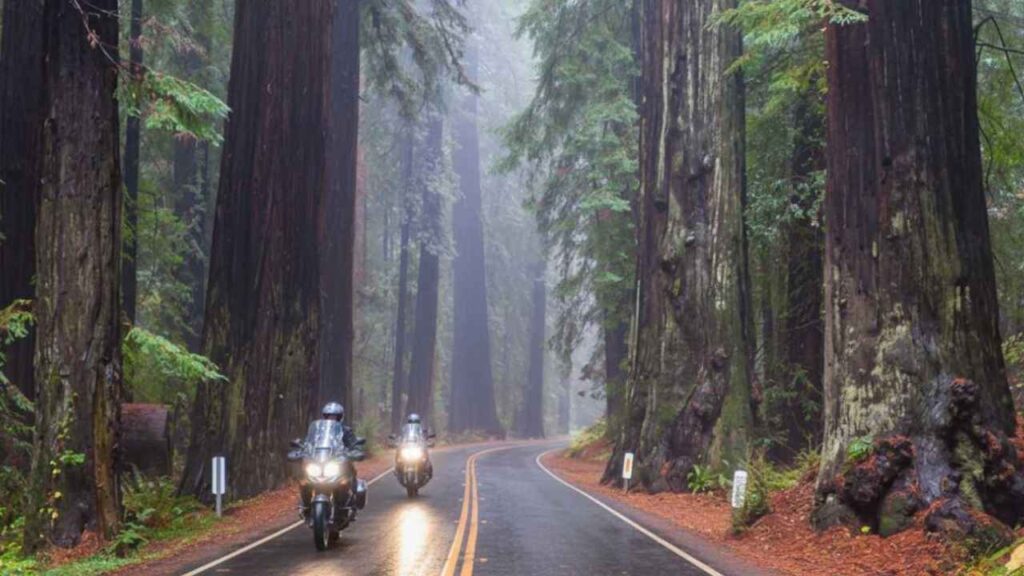
Redwood Highway (US-101 North)
If you are nature and animal lover the Redwood Highway is going to be one of your best rides. Basically this route falls in Northern California, this route takes you deep towering redwood forests, where you will only meets the wild animals and trees. Try to cover these miles in a day to avoid any mishaps or hire a guide or expert.

| Distance | 350 miles |
| Best Time to Visit | Summer to Fall |
| Route Highlights | Towering redwoods, river valleys, wildlife sightings |
| Difficulty Level | Easy to Moderate |
| Popular Stops / Must Visit Places | Avenue of the Giants, Humboldt Redwoods State Park, Founders Grove, Lady Bird Johnson Grove |
| Ride Duration | 1–2 days |
| Type of Road | Scenic highway with gentle curves |
| Nearby Amenities | Cafes, gas stations, visitor centers |
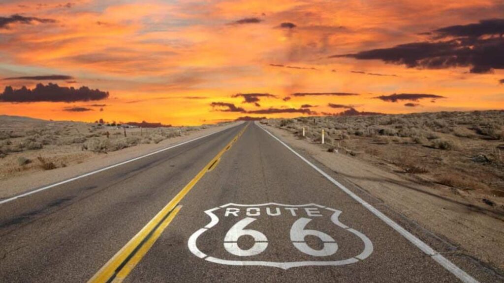
Route 66 (Santa Monica to Needles)
Have you seen the cult classic movies “Repo Man,” “Rope Man,” or “Easy Rider”? These iconic films were inspired by the legendary Route 66, taken from Santa Monica to Needles in California. This route is also known as the mother route as it is full of nostalgia, roadside diners, quirky attractions.
| Distance | 244 miles |
| Best Time to Visit | Spring or Fall |
| Route Highlights | Historic landmarks, desert landscapes, roadside diners, vintage motels |
| Difficulty Level | Easy |
| Popular Stops / Must Visit Places | Santa Monica Pier, Roy’s Motel & Café (Amboy), Bagdad Café |
| Ride Duration | 1 day |
| Type of Road | Mostly straight highway with some curves |
| Nearby Amenities | Cafes, gas stations, motels |
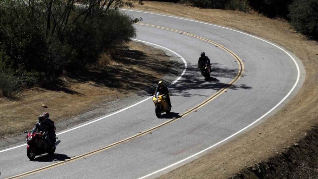
Mulholland Highway and The Snake
The name itself defines the route, as you are going to encounter numerous curves that can be dizzying or even give you a headache. While riding through this route, you’ll also enjoy lush hills, panoramic views, and occasional wildlife sightings.
| Distance | 50 miles |
| Best Time to Visit | Spring to Fall |
| Route Highlights | Twisting curves, scenic mountain views, wildlife sightings |
| Difficulty Level | Challenging |
| Popular Stops / Must Visit Places | Decker Canyon, Malibu Creek State Park, The Snake section |
| Ride Duration | 2–3 hours |
| Type of Road | Winding mountain highway with tight curves |
| Nearby Amenities | Cafes, small parking/viewpoints |
Palomar Mountain Loop
If you have a foiba of height then skip this route because the Palomar Mountain Loop is one of California’s most thrilling route. Nestled in San Diego County, this loop takes riders through steep climbs, winding roads, and breathtaking mountain scenery, making it a perfect adventure for those who love a challenge and panoramic views.
| Distance | 60 miles |
| Best Time to Visit | Spring to Early Summer |
| Route Highlights | Mountain vistas, pine forests, scenic viewpoints |
| Difficulty Level | Moderate to Challenging |
| Popular Stops / Must Visit Places | Palomar Observatory, High Point Lookout, Boucher Hill |
| Ride Duration | 2–3 hours |
| Type of Road | Winding mountain roads with elevation changes |
| Nearby Amenities | Small cafes, gas stations, scenic pullouts |
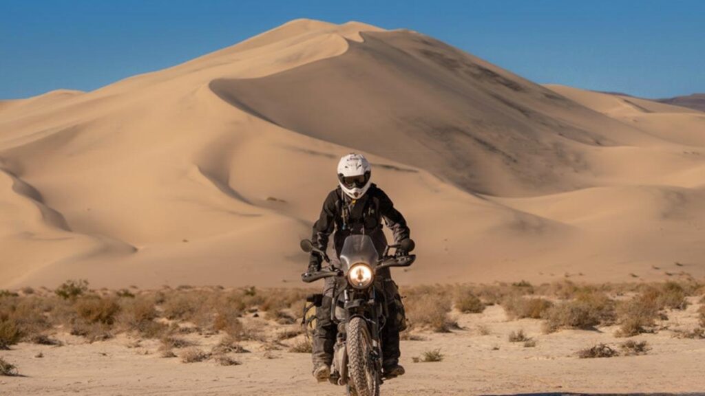
Death Valley National Park, California
I can’t forget this ride to Death Valley, where I experience one of the most extreme environments on the planet. Death Valley is the hottest place in North America, with record temperatures reaching up to 134°F (56.7°C). If you are excited to experience adventure, thrill, and the raw beauty of the desert, this is the ultimate ride for you.

| Distance | 100–150 miles |
| Best Time to Visit | Fall to Spring |
| Route Highlights | Salt flats, sand dunes, colorful canyons, unique rock formations |
| Difficulty Level | Moderate to Challenging |
| Popular Stops / Must Visit Places | Furnace Creek, Badwater Basin, Dante’s View, Mesquite Flat Sand Dunes |
| Ride Duration | 3–5 hours |
| Type of Road | Desert highways with some paved and rough sections |
| Nearby Amenities | Very limited; plan fuel, water, and food stops |
Warning: The desert can be unforgiving. High temperatures, long stretches without amenities, and rough road sections make it essential to carry plenty of water, snacks, and ensure your bike is in top condition before riding.
Mount Hamilton (Highway 130)
Mount Hamilton is said to be haunted by the spirits of early workers who helped build the Lick Observatory in the 1880s. So, if you are patient of heart it may be risky for you. On this route you will see lush valleys, rolling hills, and winding mountain roads.
| Distance | 30 miles |
| Best Time to Visit | Spring to Fall |
| Route Highlights | Winding mountain roads, panoramic views, lush valleys |
| Difficulty Level | Moderate |
| Popular Stops / Must Visit Places | Lick Observatory, roadside viewpoints |
| Ride Duration | 1–2 hours |
| Type of Road | Winding mountain highway with steep sections |
| Nearby Amenities | Limited; carry water and snacks |
| Important Safety Tip | Watch for fog, wet roads, and always carry water |
Carson Pass (Highway 88)
If you’re looking for a ride that combines thrill, history, and stunning mountain scenery, Carson Pass (Highway 88) is the perfect route. Carson Pass is located in the Sierra Nevada mountains of California.
| Distance | 50 miles |
| Best Time to Visit | Late Spring to Early Fall |
| Route Highlights | Winding mountain roads, alpine lakes, historic trail |
| Difficulty Level | Moderate to Challenging |
| Popular Stops / Must Visit Places | Silver Lake, Caples Lake, Markleeville |
| Ride Duration | 2–3 hours |
| Type of Road | Mountain highway with sharp curves |
| Nearby Amenities | Limited; carry water and snacks |
| Interesting Tip | Photo-worthy viewpoints; historic Gold Rush trail experience |
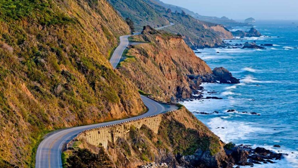
Pacific Coast Highway (Highway 1, iconic CA route)
Nature and Photography Lovers and planning a bike trip with your friends then Pacific Coast Highway is the best choice. In this trip you will get to see stunning ocean views, cliffs, beaches, and charming towns.

| Distance | 655 miles (full route) |
| Best Time to Visit | Spring to Summer |
| Route Highlights | Ocean cliffs, beaches, seaside towns, iconic bridges |
| Difficulty Level | Moderate |
| Popular Stops / Must Visit Places | Big Sur, Bixby Bridge, Monterey, Santa Barbara, Malibu |
| Ride Duration | 3–5 days (full route) |
| Type of Road | Coastal highway with curves and scenic pullouts |
| Nearby Amenities | Cafes, gas stations, hotels, scenic viewpoints |
Tips for Riding California’s Motorcycle Routes
If you are going for a bike trip through California’s Motorcycle Routes you must be aware of the tips listed below:-
- Always check your bike before long rides.
- Carry plenty of water and snacks.
- Wear proper riding gear for safety.
- Be careful on risky or winding roads like Tioga Pass or Death Valley.
- Plan for fuel stops and rest breaks.
- Take your time and enjoy scenic views.
- Riding with a buddy or small group is safer and more fun.
What to Do in Emergency? Rider Safety & Emergency Tips
Riding California’s highways is quite risky and thrilling. If you going for the riding must be aware that always carry a first-aid kit, plenty of water, and snacks. Check your bike’s brakes, tires, and fuel before hitting the road.
In emergency situation Keep your phone fully charged, know the nearest gas or rest stops, and stay connected with your friends.